

产品介绍
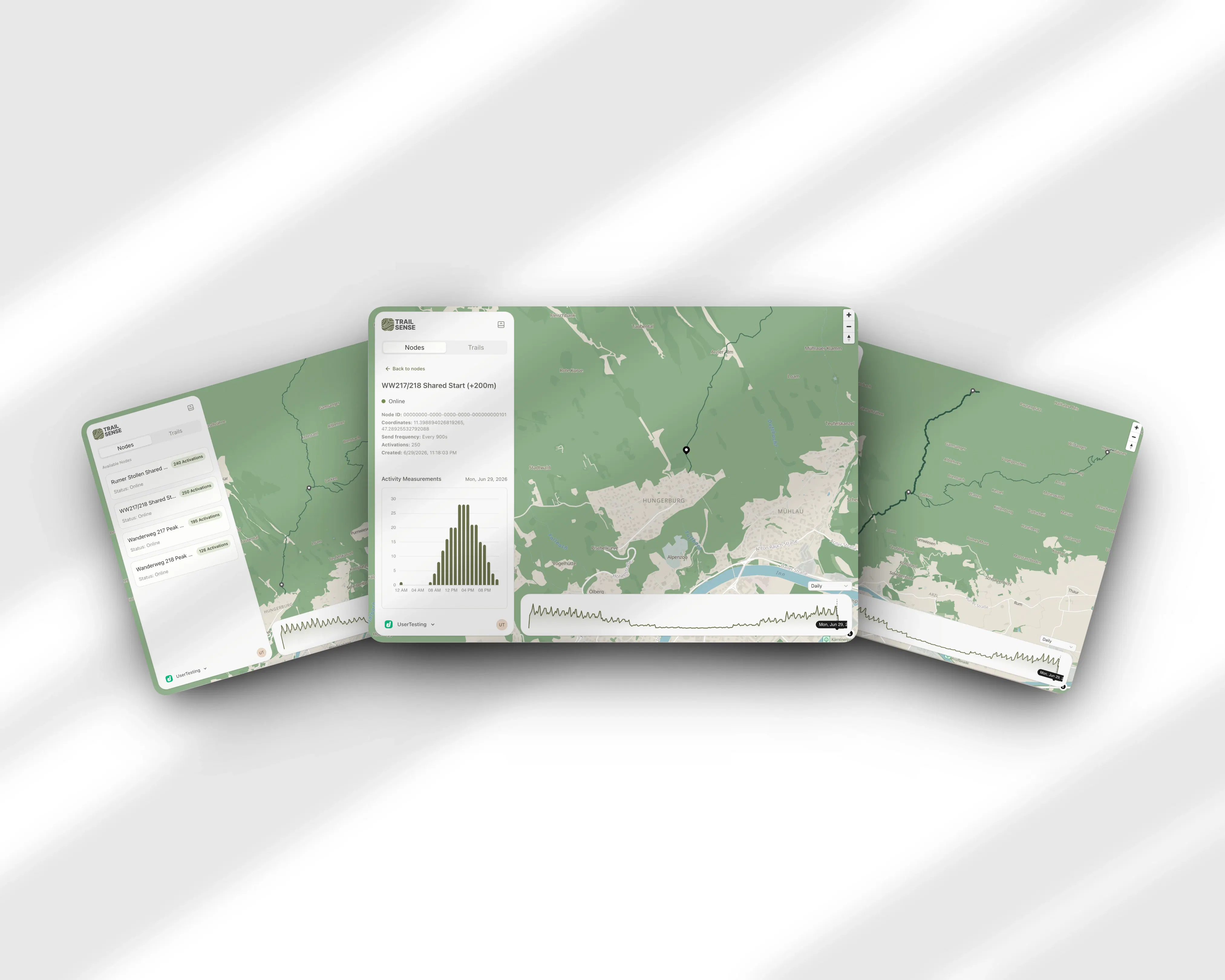
Trails can get busy, and others stay empty, but how do you know? We built Trailsense to answer that. Our solar-powered nodes count hikers using anonymized wifi probe requests, the pings a phone sends while scanning for known networks. A dashboard turns those counts into a clear view of how busy each trail is over time. No cameras, no app for hikers to install, and no personal data ever leaving the device.
适合谁关注
- 正在评估 AI 工具或智能体落地的团队
可借鉴场景
- 快速理解 Trailsense 的定位、核心能力和 Product Hunt 热度
- 判断“See where people are hiking, without cameras”这类需求是否值得做竞品调研
- 沿着 硬件、移动与平台、Data & Analytics 继续发现同类产品和替代方案
- 结合评论热度,判断该产品是否有真实讨论和早期用户反馈
29
投票数
10
评论数
7月11日
发布日期
作者自荐
GitMemo免费开源
把 AI 对话保存到你的 Git 知识库
本地优先,支持 macOS 与 Android。剪贴板、截图、笔记和文件都能集中保存、搜索、同步。
获取安装包
Hey, I'm Francesco, one of three people behind Trailsense, along with Felix and Lea. We build small solar-powered sensor nodes that count how many people pass by on a hiking trail, without cameras and without hikers having to install anything. The nodes listen for wifi probe requests, the background pings a phone sends out while scanning for known networks, and turn them into an aggregated count. No raw probe request data ever leaves the node, and no personal data is stored anywhere in the system. The idea started at the Tourism Technology Hackathon in 2025, where Tirol Werbung brought us a real problem: they know exactly how many people sleep in which hotel each night, but almost nothing about where those people go during the day. We kept working on it as our master's project, and this year we ran a pilot on the Nordkette in Innsbruck alongside Tirol Werbung. Right now Trailsense is pre-commercial. The pilot is done, we're refining the dashboard and the node hardware, and we don't have a public demo up yet since it's still a bit rough around the edges. Longer term we want to add a public-facing side too, something like Google Maps traffic data but for hiking trails, so hikers can check how busy a trail is before heading out. For now our focus is the municipality and tourism board side. We're posting here mainly to get feedback, whether you've built sensor hardware yourself or you're just someone who hikes and has opinions about being tracked outdoors. What would make you trust a system like this to collect data around you? And if you were a hiker using a public facing traffic-map version someday, what would you actually want to see on it? Our node firmware is open source on GitHub (github.com/trailsense) if you want to see exactly how the data collection works. Happy to answer any questions.